Chora -Apikia-Katakalei-Vourkoti (with Pythara waterfalls detour)
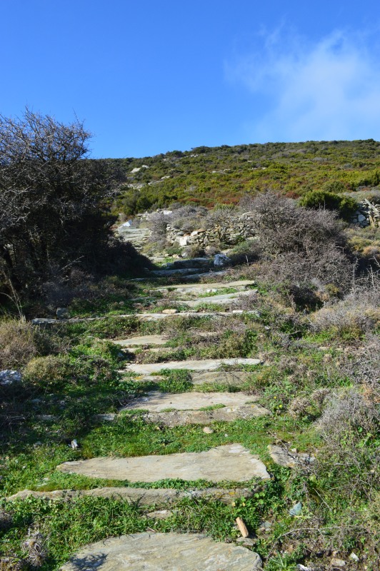
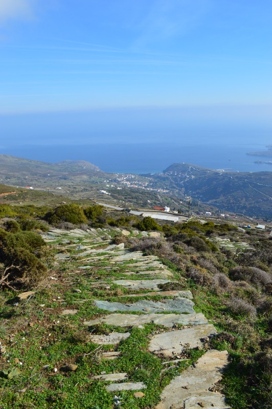
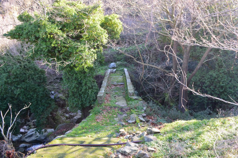
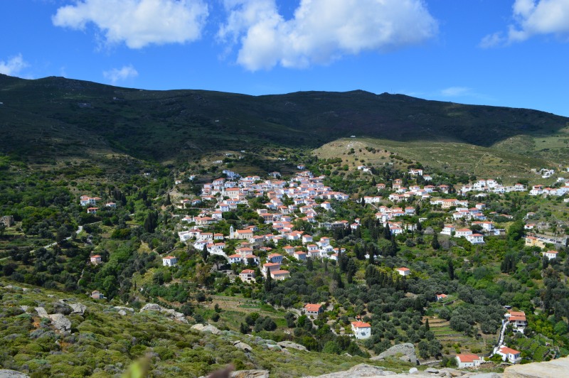
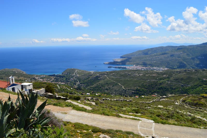
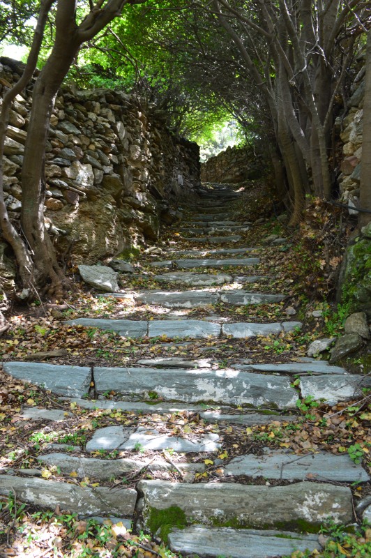
A route typical of Andros’ rich vegetation and intense terrain round Mt Petalon connecting the settlement of Apikia with the most remote mountainous agricultural villages of Andros, Katakalei and Vourkoti. Beautiful cobbled parts, water abundance, magnificent views and impressive changes of scenery.
ACCESS- ROUTE CONDITION
Tarmac road ti the port Nimporio of Chora, in the extend of the vertical road along the river of Lourion (see sign posting) or the main tarmac road in Vourkoti under the restaurant
Route condition: open
DISTANCE-DURATION
6.8 km / 2½ hours
7.8 km / 3 hours (2a detour to Pytharas waterfalls)
DRINKABLE WATER-FOOD
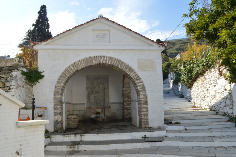
Water in Apikia, Katakaleous, Vourkoti. Food infrustructure in Apikia and Vourkoti (during summer period only)


